-
This system is designed to maintain two independent
navigation systems simultaneously. Under normal configuration
they use the same GPS input, but with a few mouse clicks the PC can receive
its input from a handheld GPS, and both the GPS and Computer can run for
over an hour on their internal batteries.
-
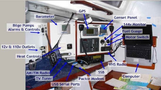
A backup computer is carried with all the charts and
software so a different computer can be swapped out in a few minutes if
necessary.
-
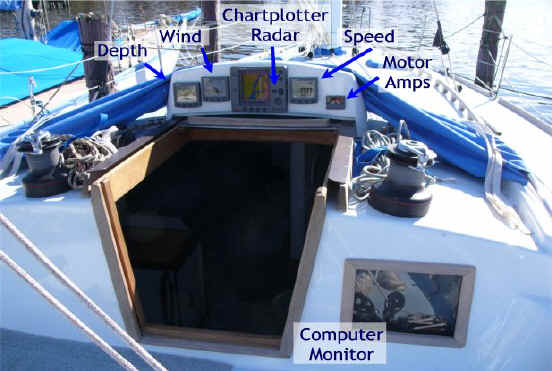
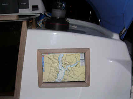
A secondary monitor is mounted behind a window so the
computer screen is visible in the cockpit. Since this uses a
traditional monitor it is not easily visible in bright sunlight.
|
 |
|
|
|
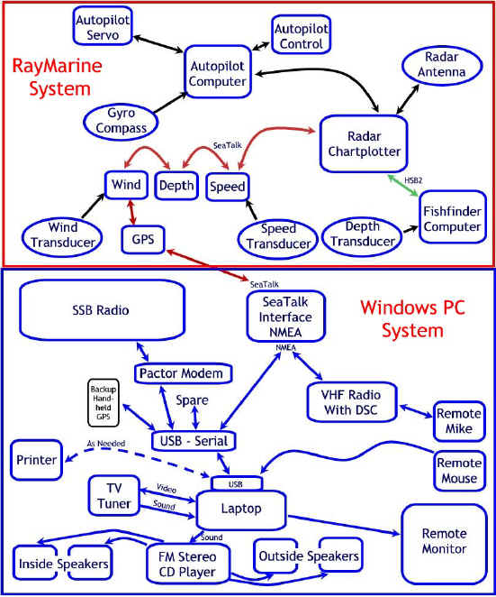
Communications
Entertainment
|
Chart Table & Electronics Control Panels
|
Software
-
MaxSea Yacht, Routing, Performance
-
This includes logging of instrument data
-
weather files overlaid on chart
-
routing including weather, tides & currents
-
full support for polars and current sailing
effeciency
-
supports many chart formats including NOAA ENC charts ( S-57)
-
MapTech software and charts
-
WinLink 2000 email
|
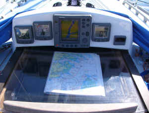
The monitor viewed from the cockpit
|
|
|
|